New
Launch Your Career in Geospatial Intelligence
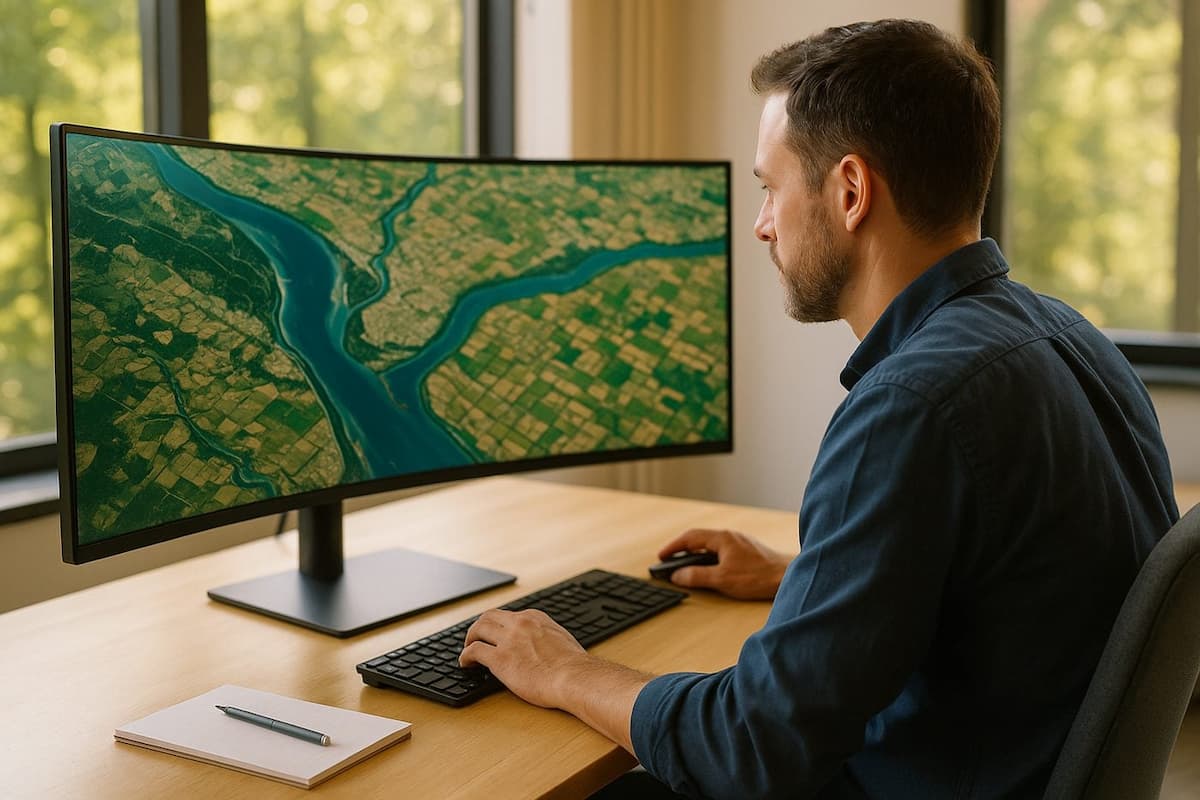
Satellites photograph the whole planet every day, and almost none of it is looked at. Our program gives you a structured path into geospatial intelligence, from imagery exploitation and change detection to spatial analysis, machine learning on scenes and the written assessments that turn pixels into something a decision maker can act on.
Global #1 Training & Internship Program
4.8

4.7

4.6

Program Summary
Geospatial intelligence is the discipline of answering questions about the world from imagery and location data. This program builds a practical foundation in analytic tradecraft: how projections and datums quietly break an analysis, how multispectral and radar imagery differ and what each can honestly show, how change is separated from artefact across a time series, and how an analyst states a finding with the confidence it actually deserves.
Alongside the technical modules, the program includes hands-on labs and a virtual internship. You will exploit real Sentinel and Landsat scenes, build reproducible Python pipelines, classify land cover, produce cartographic products, and finish with project work you can show to an employer.
Why Refonte Learning's Geospatial Intelligence Analyst Course is the Best Fit for You
- Concrete Projects, Real-World Experience
- In-Depth Skill Enhancement
- Seasoned Guidance
- Potential Internship
Program Specifics
Requirement
Engaged in bachelor's or postgraduate studies in Geography, Geomatics, Earth Sciences, Computer Science, Data Analytics, or related fields
Period
3 months
Dedication time
10-12 Hours/Week
Career Result
Geospatial Intelligence Analyst, Imagery Analyst, Geospatial Data Scientist, GIS Analyst
Competencies you'll develop
- GEOINT Tradecraft & the Intelligence Cycle
- Coordinate Systems, Projections & Datums
- Imagery Exploitation & Scene Interpretation
- Multispectral, SAR & Change Detection
- Spatial Analysis, Terrain & Modelling
- Python Geospatial Automation & GDAL
- Machine Learning for Land Cover & Object Detection
- Spatial Databases & Reproducible Pipelines
- Cartographic Products & Analytic Writing
Expertise Featured
- GEOINT Tradecraft & the Intelligence Cycle
- Coordinate Systems, Projections & Datums
- Imagery Exploitation & Scene Interpretation
- Multispectral, SAR & Change Detection
- Spatial Analysis, Terrain & Modelling
- Python Geospatial Automation & GDAL
- Machine Learning for Land Cover & Object Detection
- Spatial Databases & Reproducible Pipelines
- Cartographic Products & Analytic Writing
Tools Taught

Educational Mentors

Dr. Emily Carter
Department of Satellite Systems & Operations
Dr. Emily Carter is a mentor in satellite systems and operations at Refonte Learning, where she guides learners across the satellite engineering and observation programs. Her work spans imagery exploitation, change detection and the analytic practices that turn a scene into a defensible finding, and she helps learners connect remote sensing fundamentals to the realities of writing an assessment somebody will act on.
Your Educational Path
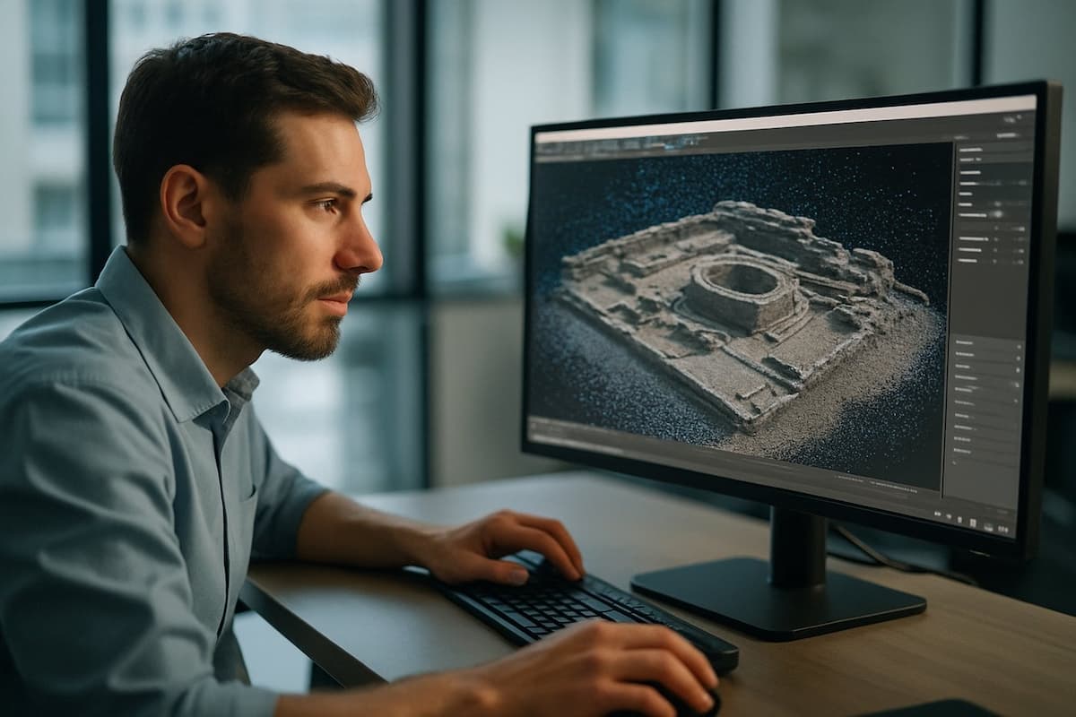
Work through what resolution, spectral bands and revisit really let you claim, and interpret and measure real multispectral scenes rather than just view them.
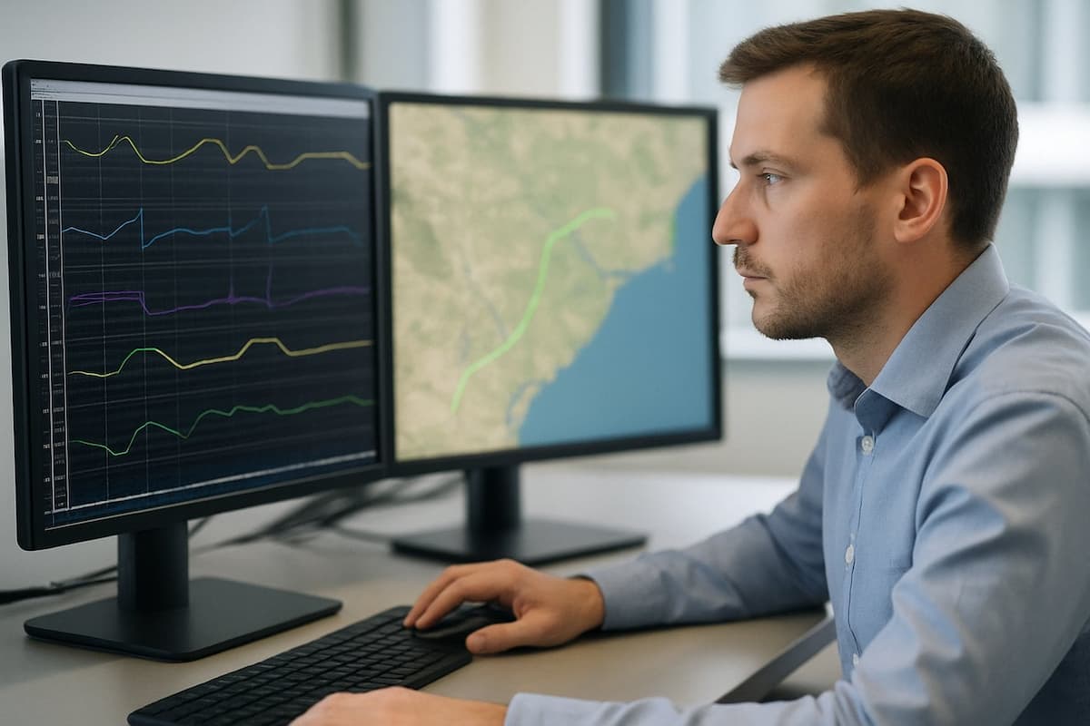
Quantify what changed across a time series, separate real change from sensor artefact, and model terrain, visibility and proximity to answer a question.
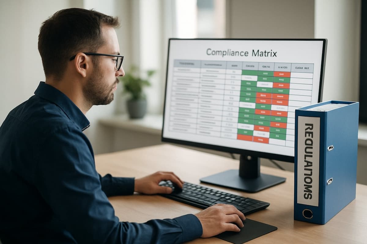
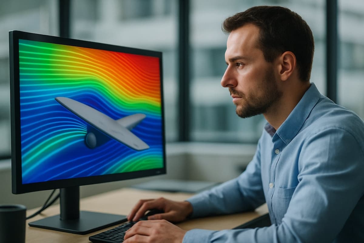
Classify land cover and detect objects at scale, then present the result with the confidence language, caveats and map products an analyst is judged on.
Need clarification about the course? Get in touch with us
Application DETAILS
Enroll today with just three easy steps and dive into our rich learning opportunities to start your educational journey.
Step 1
Sign Up
Step 2
Buy
Step 3
Kickstart your learning
Admission Prerequisites
Obligatory: Working towards a bachelor's or higher-level degree
We delight in recognizing your successes
Upon successful completion of the program, Refonte Learning offers two certificates: a Training Certificate and a Certificate of Internship. Students who demonstrate outstanding performance may receive a Letter of Recommendation and a Certificate of Appreciation for their achievements. In addition, top performers will be rewarded with exclusive prizes such as Amazon vouchers, gift hampers, and personalized T-shirts.
Advantages of the Program
- Concrete Projects, Real-World Experience
- In-Depth Skill Enhancement
- Potential Futures


Application Fees
We believe in making our programs accessible to everyone. That's why we offer a variety of financing options, including competitive rates as low as 0% interest and no hidden costs. You can also choose to make a convenient one-time payment.
Equated Monthly Installment payment options
Explore budget-friendly EMI plans with reputable finance firms. Overcome financial obstacles and stay focused on your personal development.
Credit/Debit Card and Paypal
Costs as low as
Installment I: USD 204
Installment II: USD 98
One-Time Payment Options
Experience the ease and flexibility of a single payment, allowing you to start your career journey without any hassle.
Credit/Debit Card and Paypal / Online Banking
Total Enrollment Costs
USD 300
You may also like
Frequently Asked Questions
What career opportunities does this course provide?
Graduates target Geospatial Intelligence Analyst, Imagery Analyst and Geospatial Data Scientist roles. Be aware that many US defence postings require a security clearance and US citizenship, so we teach vendor-neutral tradecraft that also transfers to commercial Earth observation, insurance and humanitarian work.
Do I need an ArcGIS licence to take this course?
No. The labs run on QGIS, Python and free Sentinel and Landsat archives. ArcGIS concepts are covered so you can work in either, but nothing you are assessed on requires a paid licence.

Is this course suitable for beginners?
It suits learners with some grounding in data analysis, Python or GIS. No remote sensing background is required, but you should be comfortable writing basic Python, because the analysis pipelines run through the program.
Will I receive a certification upon completion?
Yes, a Refonte Learning certificate of completion for your resume and LinkedIn. It is not an industry certification exam.

Can I take this course while working full-time?
Yes. It requires 10-12 hours per week, all live sessions are recorded, and the lab environments are available on demand.
Ready to fulfill your dream of becoming a Professional Geospatial Intelligence Analyst?
Begin your journey with Refonte International's Training & Internship Program for comprehensive training, valuable certificates, and exciting future opportunities.