New
Master Earth Observation, SAR, and Geospatial AI
Become proficient in satellite remote sensing: multispectral & hyperspectral analysis, SAR processing, radiometric/atmospheric correction, change detection, and geospatial machine learning at scale with modern cloud platforms.
Global #1 Training & Internship Program
4.9

4.8

4.7

Program Summary
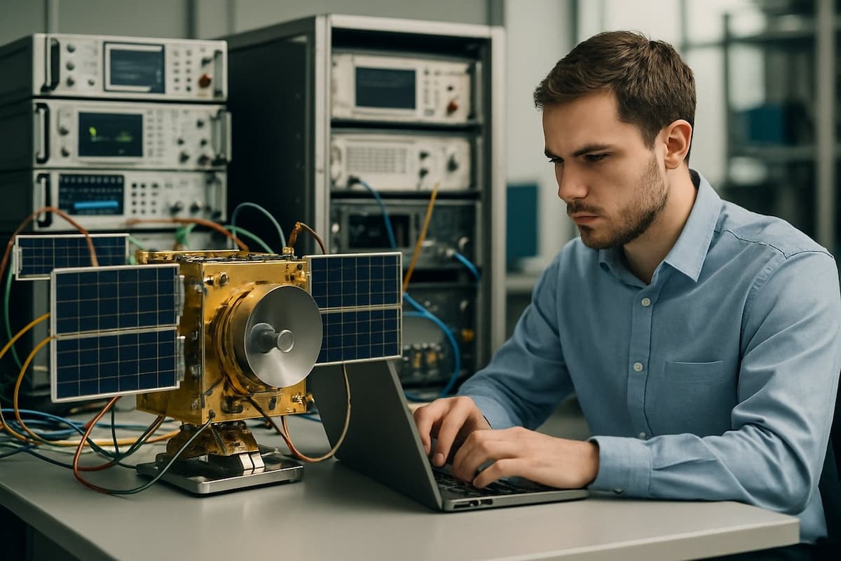
This program builds a rigorous foundation in remote sensing physics and image processing. You’ll work with open Earth Observation constellations (Sentinel-1/2, Landsat 8/9) and learn the core resolutions (spatial, spectral, radiometric, temporal), orbits, and sensor modalities (optical, SAR, LiDAR).
Through projects, you’ll implement preprocessing pipelines (radiometric & atmospheric correction, orthorectification, mosaicking), compute spectral indices (NDVI/NDWI), perform SAR denoising and interferometry basics, run change detection/time-series analyses, and deploy ML/DL models for land cover mapping and object detection—locally and on cloud platforms.
Why Refonte Learning's Remote Sensing Scientist/Engineer Course is the Best Fit for You
- Concrete Projects, Real-World Experience
- In-Depth Skill Enhancement
- Seasoned Guidance
- Potential Internship
Program Specifics
Requirement
Background in CS (Computer Science), Geo-informatics, Electrical/Telecom, or related fields. Comfortable with Python.
Period
3 months
Dedication time
10-12 Hours/Week
Career Result
Remote Sensing Scientist, EO Data Scientist, SAR Analyst, GIS/Geospatial Engineer, Environmental Data Scientist, Geospatial ML Engineer
Competencies you'll develop
- Remote sensing fundamentals: EM spectrum, sensors & orbits
- Spatial, spectral, radiometric, temporal resolution; SNR & calibration
- Data sources: Sentinel-1/2, Landsat 8/9; catalog search & access
- Preprocessing: radiometric & atmospheric correction, orthorectification
- Multispectral & hyperspectral analysis; spectral indices (NDVI/NDWI, etc.)
- SAR processing: speckle filtering, polarimetry basics, InSAR intro
- LiDAR/point clouds: DEM/DSM generation & terrain modeling
- Change detection & time-series analysis
- Geospatial ML/DL (scikit-learn, TensorFlow/PyTorch) for classification/segmentation
- Cloud-scale EO: Google Earth Engine & distributed workflows
- Ethics, licensing, FAIR/Responsible AI & geo-privacy
Expertise Featured
- Fundamentals: platforms, sensors & resolutions (optical, SAR, LiDAR)
- EO datasets: Sentinel-1/2, Landsat 8/9; catalog search & access
- Preprocessing: radiometric & atmospheric correction, orthorectification
- Spectral analysis: indices, feature engineering & dimensionality reduction
- SAR essentials: speckle filtering, backscatter, InSAR basics
- LiDAR & elevation modeling: point clouds, DEM/DSM workflows
- Change detection & time-series (e.g., drought, deforestation, urban growth)
- Geospatial ML/DL: supervised classification & semantic segmentation
- Cloud platforms & MLOps for EO (GEE, Python APIs, pipelines)
Tools Taught

Educational Mentors

Dr. Emil Bayramov
Department of Assistant Professor, School of Mining & Geosciences, Nazarbayev University
Expert professor in applied geospatial remote sensing for the oil, gas, and mining sectors — 23 years of experience, PhD in remote sensing, certified by the Royal Geographical Society (UK) and the Canadian Institute of Geomatics (CIG). Invaluable mentorship for Earth Observation projects in sensitive sectors.
Your Educational Path
Understand EM spectrum, sensor modalities (optical/SAR/LiDAR), orbits, and resolutions to select the right data for the task.
Implement radiometric/atmospheric correction, orthorectification, mosaicking, and quality masking for robust analytics.
Train and evaluate models for land cover mapping & change detection; run analyses at scale with Google Earth Engine and Python.
Need clarification about the course? Get in touch with us
Application DETAILS
Enroll today with just three easy steps and dive into our rich learning opportunities to start your educational journey.
Step 1
Sign Up
Step 2
Buy
Step 3
Kickstart your learning
Admission Prerequisites
Obligatory: Working towards a bachelor's or higher-level degree
We delight in recognizing your successes
Upon successful completion of the program, Refonte Learning offers two certificates: a Training Certificate and a Certificate of Internship. Students who demonstrate outstanding performance may receive a Letter of Recommendation and a Certificate of Appreciation for their achievements. In addition, top performers will be rewarded with exclusive prizes such as Amazon vouchers, gift hampers, and personalized T-shirts.
Advantages of the Program
- Concrete Projects, Real-World Experience
- In-Depth Skill Enhancement
- Potential Futures


Application Fees
We believe in making our programs accessible to everyone. That's why we offer a variety of financing options, including competitive rates as low as 0% interest and no hidden costs. You can also choose to make a convenient one-time payment.

Equated Monthly Installment payment options
Explore budget-friendly EMI plans with reputable finance firms. Overcome financial obstacles and stay focused on your personal development.
Credit/Debit Card and Paypal
Costs as low as
Installment I: USD 204
Installment II: USD 98
One-Time Payment Options
Experience the ease and flexibility of a single payment, allowing you to start your career journey without any hassle.
Credit/Debit Card and Paypal / Online Banking
Total Enrollment Costs
USD 300
You may also like
Frequently Asked Questions
Which datasets will we use?
You will work with Sentinel-1 (SAR), Sentinel-2 (optical), Landsat 8/9, as well as LiDAR point clouds when available.
Which tools are covered?
QGIS/ArcGIS Pro, Google Earth Engine, GDAL/OGR, ESA SNAP, ENVI (depending on license), Python (rasterio, geopandas, xarray, scikit-learn, TensorFlow/PyTorch).
Are there any prerequisites?
Basic skills in Python and some knowledge of matrices/signals. No prior EO experience required: fundamentals are covered.
What kind of final project?
An applied capstone (e.g., deforestation detection, crop mapping, flood monitoring) with a reproducible report and code repository.
Is the workload compatible with a full-time job?
Yes. The recommended pace is 10–12 h/week, with asynchronous modules and targeted live sessions.
Ready to fulfill your dream of becoming a Professional Remote Sensing Scientist/Engineer?
Begin your journey with Refonte International's Training & Internship Program for comprehensive training, valuable certificates, and exciting future opportunities.